
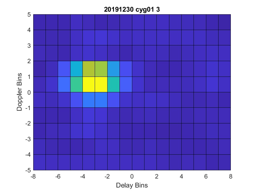
Delay-Doppler Maps (DDMs) have already shown promising potentials in the sea ice remote sensing, including ice recognition and sea ice thickness estimation. However, this kind of products is yet to be tested for lake ice remote sensing, which looks more challenging than that of sea ice, especially for mid-latitude ones.
Generally speaking, two main approaches have been established so far for GNSS-R remote sensing: altimetric and scatterometric approaches. Although these two approaches are somehow connected to each other, the methodologies can be way apart. Accordingly, ice remote sensing using GNSS-R can be, and has been, conducted in both ways.
Among many scatterometric-based research items for ice remote sensing, Qingyun Yan has successfully carried out and published several papers on sea ice remote sensing by analyzing DDMs obtained from TechDemoSat-1 (TDS-1) satellite over northern regions. He has also introduced the feasibility of sea ice thickness measurement by extracting brightness temperature values from DDMs reflectivity observations. However, no GNSS scatterometry experiments have been yet done over lake ice to examine the GNSS-R capability of lake ice remote sensing by means of DDMs.
As part of an experiment that I’m currently involved in regarding the DDMs potential of lake ice remote sensing, I started exploring challenges that one may face in lake ice remote sensing using scatterometric data. Lake ice covers, especially mid-latitude ones, as discussed in some previous posts of this blog (e.g., this one), are, in general, highly influenced by mid-winter warmings and melt/refreeze events, which significantly change the reflectivity properties of the lake ice reflective layer(s). Therefore, I came up with two main challenges as follows.
Firstly, in GNSS scatterometry, it’s usually assumed that we’re dealing with a single scattering regime, i.e., only one surface contributes to the reflection. This assumption in mid-latitude frozen lakes is improper because, as mentioned above as well as in my master’s thesis, mid-winter warming events leads to the appearance of some wet layers inside and over the ice column causing interferences in reflections. In other words, depending on the water content of each contributing layer, which controls the dielectric permittivity of overlaying layers, these layers may cause a multi-reflection regime, which differs the scenario from what has been defined in the GNSS-R tutorial.
secondly, melt/refreeze events during the freezing season change the ice-water interface roughness significantly, which may change the amount of the reflected power received by the satellites. In the literature, some theoretical models, such as Kirchhoff Approximation and Integral Equation Method, are applied to simplify assumptions regarding model the roughness of reflective surfaces. However, ice-water interfaces at frozen lakes are less likely to be adopted with those models; therefore, non-specular reflections are very likely to happen from lake ice towards GNSS-R receivers.
Furthermore, topography and EIRP effects have been discussed here an here, respectively; however, we’re actively exploring for other potential sources of inconsistencies. Feel free to reach us out and contribute if you have ideas on that.
