

Latest from the Blog
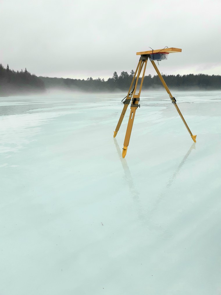
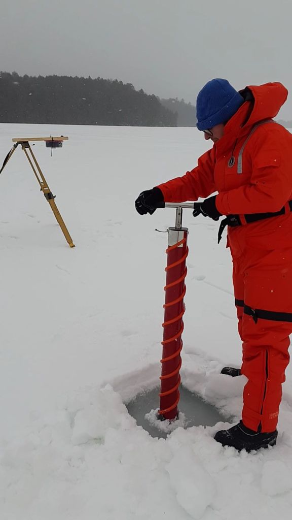
GNSS-R observation over lake ice; coherency issue
In spaceborne GNSS-R systems like CYGNSS (Cyclone Global Navigation Satellite System), coherence observation is a crucial measurement used to retrieve geophysical parameters of the Earth’s surface. Coherence is a measure of the similarity or correlation between the transmitted GNSS signal and the received signal after it has interacted with the Earth’s surface (e.g., lake ice,…
Raspberry Pi for GNSS-IR; A review on a recently-published paper
A new study has been recently published, in which a low-cost GPS antenna connected to a Raspberry Pi system has been employed to conduct a GPS-IR experiment for water level monitoring. In this paper, the authors have described the advantages of this system; however, there are some hidden points that I am going to flesh…
Application of GNSS-R for wetlands mapping using the Android phone device and u-blox GNSS module
Helicopters and low-cost Android GPS receivers can be a promissing tool for wetland remote sensing. Lazar Jeftic, the R&D specialist at Vojvodjanska privredna avijacija, Ciklonizacija Logistika – Novi Sad, AP Vojvodina, Republic of Serbia has more for us Wetlands are areas that are inundated or saturated either permanently or intermittently and support vegetation types that…
