Helicopters and low-cost Android GPS receivers can be a promissing tool for wetland remote sensing. Lazar Jeftic, the R&D specialist at Vojvodjanska privredna avijacija, Ciklonizacija Logistika – Novi Sad, AP Vojvodina, Republic of Serbia has more for us
Wetlands are areas that are inundated or saturated either permanently or intermittently and support vegetation types that are adapted to saturated conditions. Mapping the wetlands is very important in identifying mosquito breeding sites along the river floodplain areas on different water levels. The GNSS-R as passive remote sensing technique can improve the mapping of wetlands in combination with the RGB and CIR cameras and provide better image interpretation and overall results. L-band signals transmitted from the GNSS constellations are less obscured by high biomass vegetation which can be found in the floodplain areas.
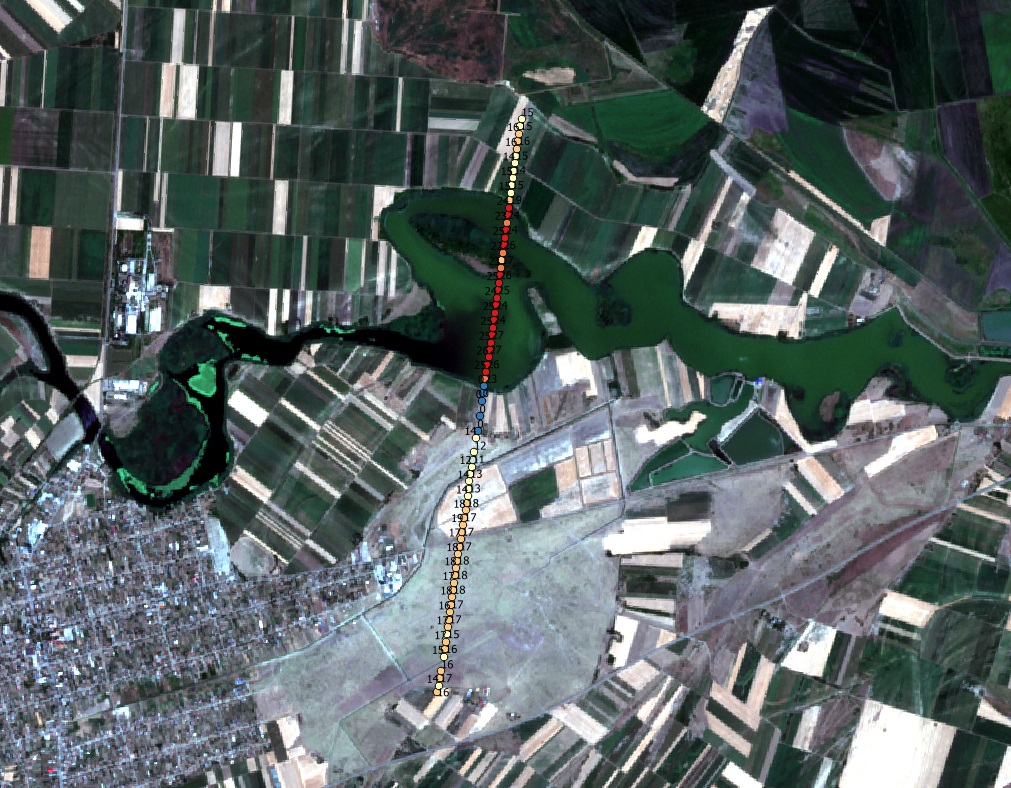
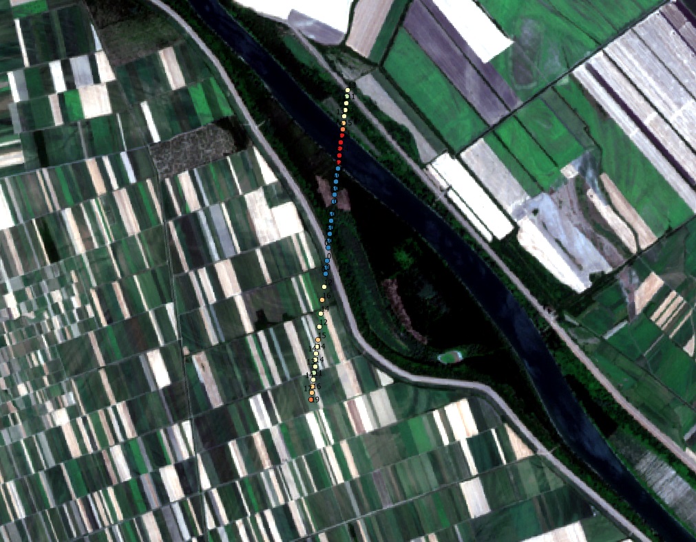
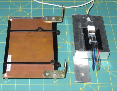
The Android phone device uses the custom adapted GNSS-R Logger application based on the open source code from Google GNSSLogger App. The application is installed on phone with Android 11 operating system version, which is covered with the PCB plate for blocking the direct signal reception. The first test was conducted together with the RGB camera image acquisition from the helicopter with Above Ground Level of 250 meters over a wetland area consisting of various vegetation type covers. GNSS-R Logger app recorded raw GNSS data at L1 frequency bands of GPS and GLONASS satellites. The second test was also conducted from the helicopter with Above Ground Level of 400 meters over the two rivers.
The further tests will also include the GNSS-R receiver based on u-blox 7 GNSS module with the laptop computer as a data logger, and also taking into consideration the distribution of GNSS satellites before the flight. The improvements will also include the new GNSS receivers with capability for receiving at L2 and L5 frequency bands, and defining the appropriate permanent position for GNSS-R devices on helicopter Bell 206B-3.
The First test returns the following results:
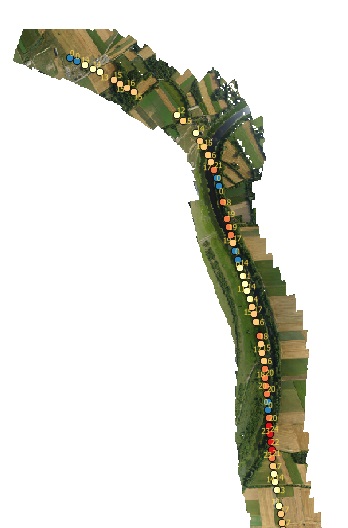
and the second test gives us these figures: